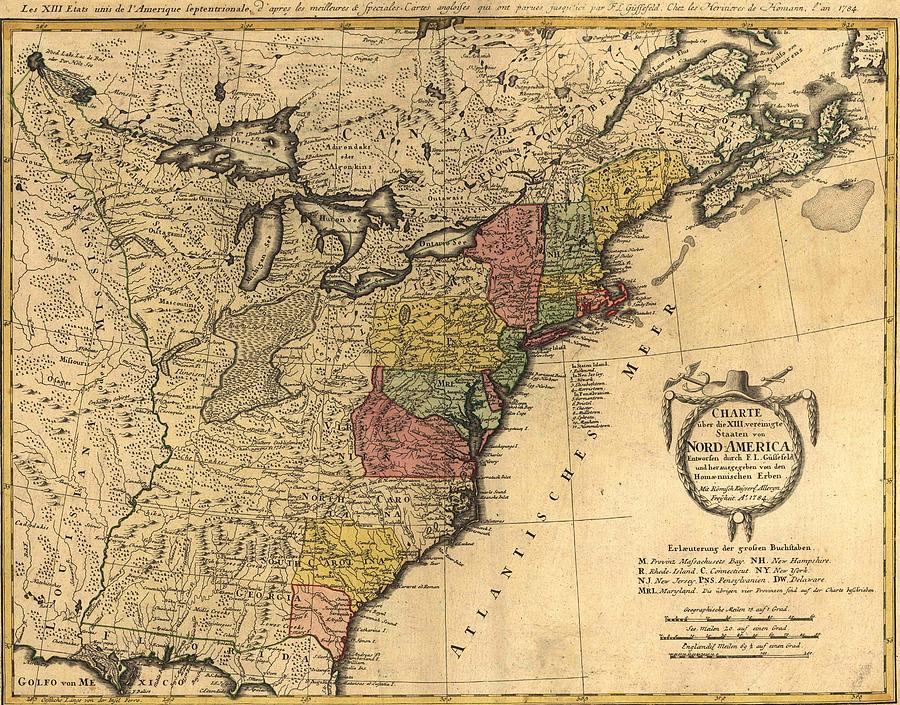
Map Showing The Newly Independent

by Everett
Title
Map Showing The Newly Independent
Artist
Everett
Medium
Photograph - Photograph
Description
Map showing the newly independent United States in 1784 following the 1783 Treaty of Paris. US Territory extended to the Mississippi River, with New Orleans in French control and Florida in Spanish control.
Uploaded
December 4th, 2011
Embed
Share
Comments
There are no comments for Map Showing The Newly Independent. Click here to post the first comment.


